BIG PICTURE STORY
Strengthening
resilience in the face
of future droughts
Droughts are a natural part of the water cycle and, across time, have always challenged human civilization. Since humans first started recording climate trends, drastic drops in precipitation levels and arid cycles, which on average last around 300 years, have forced populations to move or adapt. However, today, the rising frequency, severity and unpredictability of droughts are impacting food and nutrition security for one in three people around the world who are already subjected to water scarcity of some form and therefore even more widely impacted.
The Intergovernmental Panel on Climate Change reports, with high confidence, that the likelihood of drought is projected to increase in many regions over the 21st century, even with strong climate change mitigation interventions in place. This increase is expected to be even more severe if no action is taken to avert the climate crisis.
It has now been proven that climate change will not only induce more intense drought events, but also make them harder to predict. For decades, scientists have been able to rely on the past as a guide to plan for the future, but that is no longer possible. Scientists are now armed with new technologies such as map-based monitoring and early warning systems to help decision makers take timely action to manage drought.
IWMI’s work on drought is based on three pillars of integrated drought risk management centered around interconnected, multidisciplinary and multi-institutional activities. These pillars are (1) developing drought monitoring and early warning systems; (2) conducting impact and vulnerability assessments; and (3) elevating the importance of drought mitigation, preparedness and response.
Each pillar is fundamental in promoting proactive drought management measures. The pillars are dependent on one another and essential to strengthening drought resilience.
Tackling drought in the world’s most water-stressed region
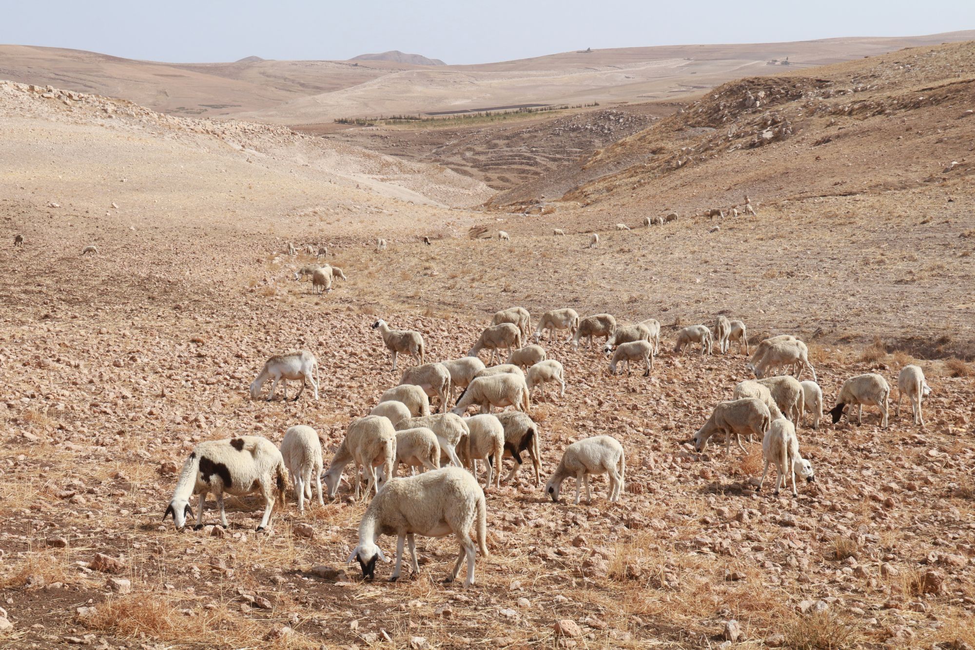 The Middle East and North Africa (MENA) region is the driest in the world with only 2% of the planet’s renewable water supplies. It is home to 12 of the world’s most water-scarce countries. Soaring temperatures and evaporation rates, in addition to decreases in precipitation across the region, are creating extreme challenges to water and food security.
MENAdrought, a project supported by the United States Agency for International Development (USAID), is turning the tide of climate change by creating more resilient communities that can stay one step ahead of the next drought. MENAdrought works with policymakers, water managers and engineers in Jordan, Lebanon and Morocco to develop the training, data, tools and planning skills they need to anticipate, prepare for, and mitigate the worst impacts of drought.
At the heart of the MENAdrought project was the development of an interactive map by IWMI researchers that shows satellite data on rainfall, land surface temperature, soil moisture and vegetation health – all compiled into an enhanced Composite Drought Index (eCDI). The color-coded maps allow decision makers to quickly identify an emerging drought, even before its effects can be seen on the ground. National partners are involved in the entire process, making use of satellite data to direct early mitigation efforts to the areas in greatest need, and helping stave off some of the more severe impacts of drought. For example, partners in Morocco are able to review monthly drought maps which are produced within eight days of the new month. These maps are publicly available to universities and policymakers. In Jordan, the government also uses maps to track drought and make payments to the farmers affected, while in Lebanon, the Ministry of Energy and Water works with MENAdrought to forecast droughts and better plan its responses.
Early warning systems are key
Like the MENA region, Afghanistan also suffers from unpredictable water scarcity. In 2018, the worst drought in a decade prompted the Government of Afghanistan to launch its Early Warning, Early Finance and Early Action Project.
IWMI’s expertise contributed to the development of the Afghanistan Drought Early Warning Decision Support (AF-DEWS) Tool, a robust system for monitoring the weather and other relevant factors that are needed to predict drought as quickly as possible. IWMI also helped to build institutional capacity in Afghanistan. Now, when the AF-DEWS models predict a water shortage, managers and others know what to do and how to do it. Since the AF-DEWS tool was adopted by the Afghanistan Drought Early Warning Committee, over 50 bulletins have been issued during droughts. Plans to further scale the use of AF-DEWS are being designed in coordination with the Afghanistan Drought Early Warning Committee, Afghan ministries and donors.
The AF-DEWS tool has been online since 2020, providing weekly updates of rainfall and temperature forecasts for a four-week period. In addition to forecasts, drought indicators are also given for specific locations, so that steps can be taken to minimize risks.
Mapping drought in South Asia
With the incidence of severe drought on the rise, governments must provide faster and better-targeted resilience-building and relief measures. By using satellite images and remote measures of ground vegetation to assess the extent of the drought, IWMI developed the South Asia Drought Monitoring System (SADMS), an index that integrates information on vegetation, soil moisture and temperature. In 2020, IWMI received the Geospatial World Excellence Award 2020 for its development of SADMS.
SADMS provides a weekly map of drought conditions in South Asia. Numerous drought indices, including the Integrated Drought Severity Index, Standardized Precipitation Index and Soil Moisture Index, have been developed to provide advanced drought monitoring and assessment information. In tandem, these indices not only paint an accurate picture of any particular drought episode, but also provide invaluable content for decision-making and application.
The satellite data underpinning SADMS is used to identify conditions of various stages of drought and levels of soil moisture. The system has three components: monitoring and forecasting; vulnerability and impact assessment; and mitigation and response planning through drought contingency plans.
The vulnerability and impact assessment component of SADMS helps authorities to assess risks and vulnerability before droughts occur.
IWMI and the Indian Council of Agricultural Research (ICAR) have shared these weekly drought maps with agricultural extension services and state authorities. These maps assist with the preparation of drought contingency plans which help farmers manage drought risks and access insurance payouts.
Toward proactive drought management
IWMI’s work in the MENA region, Afghanistan and South Asia paves the way to improved drought monitoring in other parts of the world struggling with water scarcity. Drought is now becoming an important part of national and regional development planning in many drought-affected regions, and is being recognized as a chronic problem rather than a series of ad hoc emergencies. IWMI’s work is vital because proactive drought management to help nations deal with the devastating impacts of drought and build resilience is less expensive than crisis-led responses, it helps prevent these debilitating damages and casualties from happening, and because accurate forecasting models at scale are essential for better planning and preparedness.